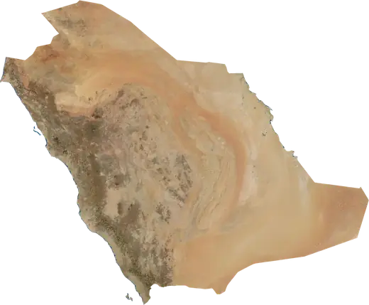
 Medina Region
: earthquakes and wildfires
Latest earthquakes and wildfires in Medina Region (Saudi Arabia) on a live map, the strongest earthquakes and largest fires on record.
Live map – Medina Region
Key statistics (30 days)
Earthquakes M2.5+ and the wildfire fronts shown on the map.
Recent events in Medina Region
- 5 h agoWildfire near Yanbu, Saudi Arabia – active52 km² · 26 km SE of Yanbu, Saudi Arabia
- 4 days agoWildfire near Madinah, Saudi Arabia7.9 km² · 100 km ESE of Madinah, Saudi Arabia
- 6 days agoWildfire near Yanbu, Saudi Arabia11 km² · 55 km WNW of Yanbu, Saudi Arabia
- 7 days agoWildfire near Yanbu, Saudi Arabia5.1 km² · 21 km SE of Yanbu, Saudi Arabia
Historical overview
Earthquakes M3.0+ and significant events of other hazards.
About Medina Region
Medina Region has recorded 5 earthquakes of magnitude 3.0 or more since 1992. The strongest was M4.8 in 1992.
Satellites have detected 2 significant wildfires here; the largest burned about 52 km².
Know the official emergency number, prepare an emergency kit and follow the instructions of your civil protection authority.
Learn more ›Earthquakes
5 earthquakes of magnitude 3.0 or more since 1992. The strongest was M4.8.
Recent earthquakes
No earthquakes of magnitude 2.5+ in the last 12 months.
Strongest earthquakes on record
| Mag | Location | Time (UTC) | Depth |
|---|---|---|---|
| 4.8 | 88 km SSW of Al-`Ula, Saudi Arabia | 10.0 km | |
| 4.7 | 89 km WSW of Sultanah, Saudi Arabia | 10.0 km | |
| 4.6 | 116 km SW of Yanbu, Saudi Arabia | 10.0 km | |
| 4.3 | 122 km SW of Yanbu, Saudi Arabia | 10.0 km | |
| 4.1 | 127 km SW of Yanbu, Saudi Arabia | 10.0 km |
Earthquakes per year (M3.0+)
Year
| 2009 | 1 | M4.7 |
| 2002 | 2 | M4.3 |
| 1993 | 1 | M4.6 |
| 1992 | 1 | M4.8 |
Wildfires
2 major fires since 2026. The largest covered about 52 km².
Recent fires
| Area | Location | Since | Status |
|---|---|---|---|
| 52 km² | 26 km SE of Yanbu, Saudi Arabia | Active | |
| 7.9 km² | 100 km ESE of Madinah, Saudi Arabia | Inactive | |
| 11 km² | 55 km WNW of Yanbu, Saudi Arabia | Inactive | |
| 5.1 km² | 21 km SE of Yanbu, Saudi Arabia | Inactive |
Largest fires on record
| Area | Location | Since | Status |
|---|---|---|---|
| 52 km² | 26 km SE of Yanbu, Saudi Arabia | Active | |
| 11 km² | 55 km WNW of Yanbu, Saudi Arabia | Inactive |