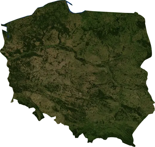
 Tychy
Tychy: earthquakes and wildfires
Was there an earthquake or a fire near Tychy just now? Live map within 100 km, the strongest earthquakes, the largest fires and statistics for Tychy, Poland.
Live map – Tychy
Earthquakes within 100 km of the city centre.
Key statistics (30 days)
Earthquakes M2.5+ and the wildfire fronts shown on the map.
Recent events in Tychy
- 11 h agoWildfire near Dabrowa Gornicza, Poland – active20 km² · 6 km E of Dabrowa Gornicza, Poland
- 12 h agoWildfire near Trinec, Czechia – active16 km² · near Trinec, Czechia
- 21 h agoWildfire near Zdzieszowice, Poland – active15 km² · near Zdzieszowice, Poland
- 21 h agoWildfire near Krapkowice, Poland – active5.9 km² · 7 km N of Krapkowice, Poland
- 45 h agoWildfire near Czestochowa, Poland – active11 km² · near Czestochowa, Poland
Historical overview
Earthquakes M3.0+ and significant events of other hazards.
About Tychy
Tychy has recorded 488 earthquakes of magnitude 3.0 or more since 1978. The strongest was M5.1 in 1983.
Satellites have detected 4 significant wildfires here; the largest burned about 20 km².
Know the official emergency number, prepare an emergency kit and follow the instructions of your civil protection authority.
Learn more ›Did you feel an earthquake in Tychy?
No reports yet.
Earthquakes
488 earthquakes of magnitude 3.0 or more since 1978 within 100 km. The strongest was M5.1.
Recent earthquakes
No earthquakes of magnitude 2.5+ in the last 12 months.
Strongest earthquakes on record
| Mag | Location | Time (UTC) | Depth |
|---|---|---|---|
| 5.1 | near Radlin, Poland | 10.0 km | |
| 4.9 | near Radlin, Poland | 10.0 km | |
| 4.8 | near Czarny Dunajec, Poland | 5.0 km | |
| 4.6 | 8 km NE of Ostrava, Czechia | 10.0 km | |
| 4.6 | 18 km NE of Tarnowskie Gory, Poland | 10.0 km |
Earthquakes per year (M3.0+)
Year
| 2025 | 1 | M3.2 |
| 2023 | 1 | M3.0 |
| 2022 | 1 | M4.2 |
| 2020 | 1 | M4.2 |
| 2019 | 2 | M3.9 |
| 2018 | 3 | M4.1 |
| 2015 | 2 | M4.3 |
| 2008 | 12 | M4.1 |
| 2007 | 9 | M4.1 |
| 2006 | 21 | M3.6 |
| 2005 | 16 | M3.9 |
| 2004 | 21 | M4.8 |
| 2003 | 31 | M3.8 |
| 2002 | 29 | M4.6 |
| 2001 | 20 | M3.6 |
| 2000 | 21 | M4.0 |
| 1999 | 19 | M3.7 |
| 1998 | 18 | M3.6 |
| 1997 | 18 | M4.2 |
| 1996 | 11 | M3.5 |
| 1995 | 21 | M4.0 |
| 1994 | 10 | M3.9 |
| 1993 | 42 | M4.4 |
| 1992 | 38 | M3.7 |
| 1991 | 9 | M3.7 |
| 1990 | 14 | M4.1 |
| 1989 | 13 | M4.2 |
| 1988 | 9 | M3.8 |
| 1987 | 14 | M4.0 |
| 1986 | 14 | M4.2 |
| 1985 | 13 | M4.3 |
| 1984 | 6 | M4.3 |
| 1983 | 9 | M5.1 |
| 1982 | 7 | M4.9 |
| 1981 | 6 | M4.2 |
| 1980 | 1 | M4.1 |
| 1979 | 3 | M4.3 |
| 1978 | 2 | M4.0 |
Wildfires
4 major fires since 2025 within 100 km. The largest covered about 20 km².
Recent fires
| Area | Location | Since | Status |
|---|---|---|---|
| 20 km² | 6 km E of Dabrowa Gornicza, Poland | Active | |
| 16 km² | near Trinec, Czechia | Active | |
| 15 km² | near Zdzieszowice, Poland | Active | |
| 5.9 km² | 7 km N of Krapkowice, Poland | Active | |
| 11 km² | near Czestochowa, Poland | Active |
Largest fires on record
| Area | Location | Since | Status |
|---|---|---|---|
| 20 km² | 6 km E of Dabrowa Gornicza, Poland | Active | |
| 16 km² | near Trinec, Czechia | Active | |
| 15 km² | near Zdzieszowice, Poland | Active | |
| 11 km² | near Czestochowa, Poland | Active |
Major fires per year
Year
| 2026 | 2 | 16 km² |
| 2025 | 2 | 20 km² |
Nearby places
- Mikolow 6 km
- Laziska Gorne 9 km
- Katowice 14 km
- Ruda Slaska 16 km
- Myslowice 16 km
- Pszczyna 17 km
- Swietochlowice 18 km
- Chorzow 19 km
- Sosnowiec 19 km
- Czerwionka-Leszczyny 21 km
- Oswiecim 21 km
- Czeladz 21 km
- Zory 22 km
- Siemianowice Slaskie 22 km
- Jaworzno 23 km
- Bytom 24 km
- Bedzin 24 km