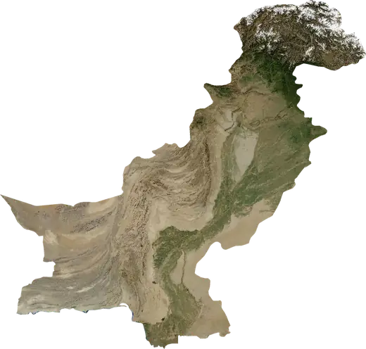
 Kandhkot
Earthquakes near Kandhkot
Was there an earthquake in Kandhkot just now? Live earthquakes within 100 km of Kandhkot, Pakistan, the strongest in history and statistics.
Live map – Kandhkot
Earthquakes within 100 km of the city centre.
Key statistics (30 days)
Earthquakes M2.5+ and the wildfire fronts shown on the map.
Recent events in Kandhkot
No significant events in the last few days.
Historical overview
Earthquakes M3.0+ and significant events of other hazards.
About Kandhkot
Kandhkot has recorded 23 earthquakes of magnitude 3.0 or more since 1977. The strongest was M5.1 in 1996.
Know the official emergency number, prepare an emergency kit and follow the instructions of your civil protection authority.
Learn more ›Did you feel an earthquake in Kandhkot?
No reports yet.
Earthquakes
23 earthquakes of magnitude 3.0 or more since 1977 within 100 km. The strongest was M5.1.
Recent earthquakes
No earthquakes of magnitude 2.5+ in the last 12 months.
Strongest earthquakes on record
| Mag | Location | Time (UTC) | Depth |
|---|---|---|---|
| 5.1 | 44 km NNW of Kandhkot, Pakistan | 33.0 km | |
| 5.1 | 47 km NE of Jacobabad, Pakistan | 33.0 km | |
| 4.9 | 32 km ESE of Dera Bugti, Pakistan | 17.0 km | |
| 4.8 | 20 km WSW of Dera Bugti, Pakistan | 33.0 km | |
| 4.7 | 93 km WNW of Saddiqabad, Pakistan | 16.6 km | |
| 4.7 | 6 km E of Kandhkot, Pakistan | 33.0 km | |
| 4.6 | 34 km E of Dera Bugti, Pakistan | 10.0 km | |
| 4.6 | 25 km ENE of Dera Bugti, Pakistan | 10.1 km | |
| 4.6 | 8 km N of Khanpur Mahar, Pakistan | 33.0 km | |
| 4.5 | 20 km WNW of Dera Bugti, Pakistan | 23.6 km |
Earthquakes per year (M3.0+)
Year
| 2022 | 1 | M4.6 |
| 2019 | 2 | M4.4 |
| 2018 | 1 | M4.7 |
| 2017 | 1 | M4.5 |
| 2015 | 2 | M4.1 |
| 2013 | 2 | M4.6 |
| 2007 | 1 | M4.1 |
| 2002 | 3 | M4.8 |
| 2000 | 1 | M4.5 |
| 1997 | 1 | M4.2 |
| 1996 | 2 | M5.1 |
| 1992 | 2 | M4.2 |
| 1982 | 2 | M5.1 |
| 1980 | 1 | M4.6 |
| 1977 | 1 | M4.9 |
Nearby places
- Ghauspur 15 km
- Ghotki 30 km
- Thul 40 km
- Pano Aqil 44 km
- Mirpur Mathelo 44 km
- Kashmor 45 km
- Khanpur Mahar 51 km
- Mian Sahib 54 km
- Ubauro 55 km
- Chak 55 km
- Khairpur 55 km
- Daharki 56 km
- Shikarpur 62 km
- Rohri 68 km
- Sukkur 68 km
- Jacobabad 73 km
- Khairpur Mir's 90 km
- Pir Jo Goth 91 km