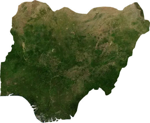
 Obalende
Wildfires near Obalende
Is there a fire near Obalende right now? Active wildfires within 100 km of Obalende, Nigeria, from NASA satellites, and the largest fires on record.
Live map – Obalende
Loading live map…
Latest event8.1 km²21 h ago37 km WSW of Abeokuta, Nigeria
Low
Moderate
High
Very high
Extreme
Very extreme
Forecast: Copernicus EFFIS (FWI index)
Very light rain (0.1–1 mm)
Light rain (1–5 mm)
Moderate rain (5–10 mm)
Heavy rain (10–25 mm)
Very heavy rain (25–50 mm)
Extreme rain (≥ 50 mm)
Forecast: ECMWF via Copernicus EMS – GWIS
Calm (< 7 km/h, 0–1 Bf)
Light breeze (7–18 km/h, 2–3 Bf)
Moderate breeze (18–36 km/h, 4–5 Bf)
Strong breeze (36–54 km/h, 5–7 Bf)
Gale (54–72 km/h, 7–8 Bf)
Storm (≥ 72 km/h, 9+ Bf)
Forecast: ECMWF via Copernicus EMS – GWIS
Very low lightning
Low lightning
Moderate lightning
High lightning
Very high lightning
Extreme lightning
Forecast: ECMWF via Copernicus EMS – GWIS
Earthquakes
Wildfires
Floods
Storms
Volcanoes
Tsunamis
Earthquakes within 100 km of the city centre.
Key statistics (30 days)
Earthquakes M2.5+ and the wildfire fronts shown on the map.
Recent events in Obalende
- 21 h agoWildfire near Abeokuta, Nigeria – active8.1 km² · 37 km WSW of Abeokuta, Nigeria
- 21 h agoWildfire near Epe, Nigeria – active4.2 km² · 17 km SSE of Epe, Nigeria
- 22 h agoWildfire near Ifo, Nigeria – active5.6 km² · 9 km N of Ifo, Nigeria
- 3 days agoWildfire near Shagamu, Nigeria3.6 km² · 20 km NNE of Shagamu, Nigeria
- 277 days agoWildfire near Pobe, Benin13 km² · 10 km ENE of Pobe, Benin
- 292 days agoWildfire near Abeokuta, Nigeria11 km² · 60 km WSW of Abeokuta, Nigeria
Historical overview
Earthquakes M3.0+ and significant events of other hazards.
About Obalende
Satellites have detected 2 significant wildfires here; the largest burned about 13 km².
Know the official emergency number, prepare an emergency kit and follow the instructions of your civil protection authority.
Learn more ›Wildfires
2 major fires since 2026 within 100 km. The largest covered about 13 km².
Recent fires
| Area | Location | Since | Status |
|---|---|---|---|
| 8.1 km² | 37 km WSW of Abeokuta, Nigeria | Active | |
| 4.2 km² | 17 km SSE of Epe, Nigeria | Active | |
| 5.6 km² | 9 km N of Ifo, Nigeria | Active | |
| 3.6 km² | 20 km NNE of Shagamu, Nigeria | Inactive | |
| 13 km² | 10 km ENE of Pobe, Benin | Inactive | |
| 11 km² | 60 km WSW of Abeokuta, Nigeria | Inactive |
Largest fires on record
| Area | Location | Since | Status |
|---|---|---|---|
| 13 km² | 10 km ENE of Pobe, Benin | Inactive | |
| 11 km² | 60 km WSW of Abeokuta, Nigeria | Inactive |