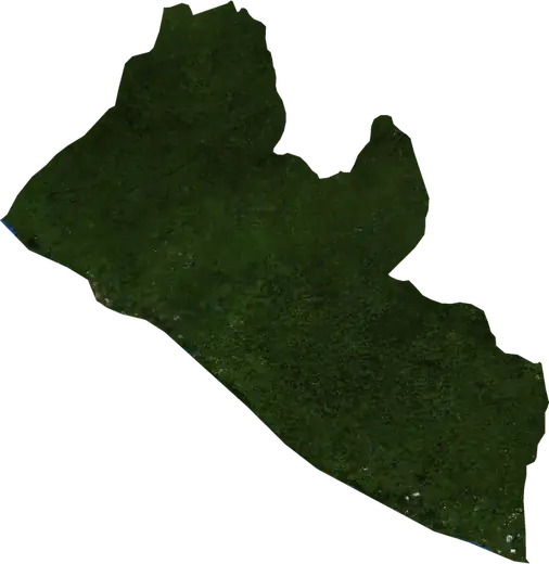
 Liberia
: earthquakes and wildfires
Latest earthquakes and active wildfires in Liberia on a live map, the strongest earthquakes and largest fires on record, and statistics by year.
Live map – Liberia
Key statistics (30 days)
Earthquakes M2.5+ and the wildfire fronts shown on the map.
Fire danger
Forecast for the area around: Monrovia. Danger can vary locally; follow official guidance. Source: Copernicus EMS – EFFIS (FWI).
Severe weather (forecast)
- Today: Rain – Very heavy rain (25–50 mm) · Greenville
- Tomorrow: Rain – Very heavy rain (25–50 mm) · Pleebo City
Forecast for the area around: Liberia. It does not replace warnings from the national weather service. Source: ECMWF / Copernicus EMS.
Recent events in Liberia
- 21 h agoWildfire near New Yekepa, Liberia – active6.1 km² · 14 km NE of New Yekepa, Liberia
- 187 days agoWildfire near Gbarnga, Liberia22 km² · 29 km S of Gbarnga, Liberia
- 187 days agoWildfire near Gbarnga, Liberia11 km² · 28 km SSE of Gbarnga, Liberia
- 187 days agoWildfire near Sanniquellie, Liberia31 km² · 14 km S of Sanniquellie, Liberia
- 202 days agoWildfire near Gbarnga, Liberia19 km² · 24 km ESE of Gbarnga, Liberia
- 202 days agoWildfire near Ganta, Liberia15 km² · 13 km SW of Ganta, Liberia
Historical overview
Earthquakes M3.0+ and significant events of other hazards.
About Liberia
Liberia has recorded 1 earthquakes of magnitude 3.0 or more since 1995. The strongest was M4.5 in 1995.
Satellites have detected 32 significant wildfires here; the largest burned about 127 km².
Know the official emergency number, prepare an emergency kit and follow the instructions of your civil protection authority.
Learn more ›Earthquakes
1 earthquakes of magnitude 3.0 or more since 1995. The strongest was M4.5.
Recent earthquakes
No earthquakes of magnitude 2.5+ in the last 12 months.
Strongest earthquakes on record
| Mag | Location | Time (UTC) | Depth |
|---|---|---|---|
| 4.5 | 55 km NNW of Monrovia, Liberia | 10.0 km |
Wildfires
32 major fires since 2026. The largest covered about 127 km².
Recent fires
| Area | Location | Since | Status |
|---|---|---|---|
| 6.1 km² | 14 km NE of New Yekepa, Liberia | Active | |
| 22 km² | 29 km S of Gbarnga, Liberia | Inactive | |
| 11 km² | 28 km SSE of Gbarnga, Liberia | Inactive | |
| 31 km² | 14 km S of Sanniquellie, Liberia | Inactive | |
| 19 km² | 24 km ESE of Gbarnga, Liberia | Inactive | |
| 15 km² | 13 km SW of Ganta, Liberia | Inactive | |
| 15 km² | 59 km NE of Buchanan, Liberia | Inactive | |
| 14 km² | 39 km ESE of Buchanan, Liberia | Inactive | |
| 10 km² | 51 km SE of Buchanan, Liberia | Inactive | |
| 21 km² | 37 km S of Gbarnga, Liberia | Inactive |
Show all (33)
| Area | Location | Since | Status |
|---|---|---|---|
| 127 km² | 23 km W of Voinjama, Liberia | Inactive | |
| 16 km² | 11 km S of Zorzor, Liberia | Inactive | |
| 15 km² | 55 km S of Gbarnga, Liberia | Inactive | |
| 11 km² | 32 km SW of Saclepea, Liberia | Inactive | |
| 16 km² | 21 km S of Voinjama, Liberia | Inactive | |
| 15 km² | 22 km WNW of Voinjama, Liberia | Inactive | |
| 12 km² | 12 km NE of Ganta, Liberia | Inactive | |
| 12 km² | 44 km S of Gbarnga, Liberia | Inactive | |
| 39 km² | near Zorzor, Liberia | Inactive | |
| 14 km² | 20 km W of Zorzor, Liberia | Inactive | |
| 14 km² | 34 km WNW of Zorzor, Liberia | Inactive | |
| 42 km² | 18 km NNW of Zorzor, Liberia | Inactive | |
| 18 km² | 23 km SSE of Foya Kamara, Liberia | Inactive | |
| 15 km² | 25 km SSE of Voinjama, Liberia | Inactive | |
| 11 km² | 6 km NNW of Ganta, Liberia | Inactive | |
| 33 km² | 20 km E of Foya Kamara, Liberia | Inactive | |
| 18 km² | 12 km SW of Voinjama, Liberia | Inactive | |
| 22 km² | 13 km NE of Ganta, Liberia | Inactive | |
| 41 km² | 13 km NNW of Zorzor, Liberia | Inactive | |
| 10 km² | 25 km WSW of Voinjama, Liberia | Inactive | |
| 17 km² | 19 km NW of Zorzor, Liberia | Inactive | |
| 17 km² | 25 km NNW of Zorzor, Liberia | Inactive | |
| 17 km² | 17 km ENE of New Yekepa, Liberia | Inactive |
Largest fires on record
| Area | Location | Since | Status |
|---|---|---|---|
| 127 km² | 23 km W of Voinjama, Liberia | Inactive | |
| 42 km² | 18 km NNW of Zorzor, Liberia | Inactive | |
| 41 km² | 13 km NNW of Zorzor, Liberia | Inactive | |
| 39 km² | near Zorzor, Liberia | Inactive | |
| 33 km² | 20 km E of Foya Kamara, Liberia | Inactive | |
| 31 km² | 14 km S of Sanniquellie, Liberia | Inactive | |
| 22 km² | 29 km S of Gbarnga, Liberia | Inactive | |
| 22 km² | 13 km NE of Ganta, Liberia | Inactive | |
| 21 km² | 37 km S of Gbarnga, Liberia | Inactive | |
| 19 km² | 24 km ESE of Gbarnga, Liberia | Inactive | |
| 18 km² | 23 km SSE of Foya Kamara, Liberia | Inactive | |
| 18 km² | 12 km SW of Voinjama, Liberia | Inactive | |
| 17 km² | 19 km NW of Zorzor, Liberia | Inactive | |
| 17 km² | 17 km ENE of New Yekepa, Liberia | Inactive | |
| 17 km² | 25 km NNW of Zorzor, Liberia | Inactive |