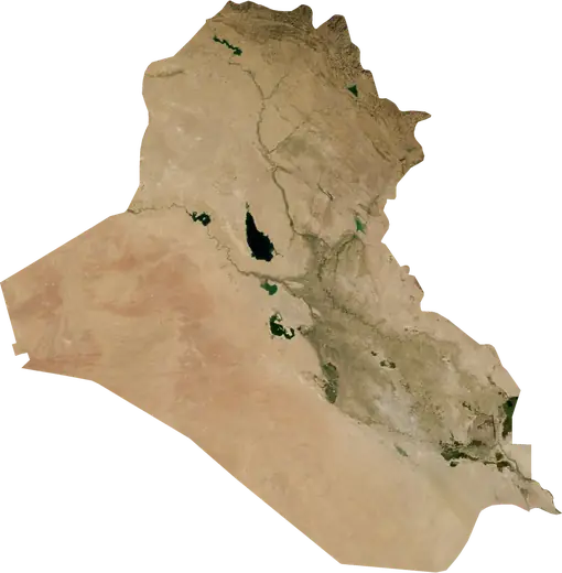
 Kelar
Kelar: earthquakes and wildfires
Was there an earthquake or a fire near Kelar just now? Live map within 100 km, the strongest earthquakes, the largest fires and statistics for Kelar, Iraq.
Live map – Kelar
Earthquakes within 100 km of the city centre.
Key statistics (30 days)
Earthquakes M2.5+ and the wildfire fronts shown on the map.
Recent events in Kelar
- 39 h agoWildfire near Kifri, Iraq – active7.9 km² · 19 km ENE of Kifri, Iraq
- 4.283 days agoM4.2 earthquake near Khanaqin, Iraq8 km NE of Khanaqin, Iraq
- 4.4111 days agoM4.4 earthquake near Kirkuk, Iraq30 km SE of Kirkuk, Iraq
- 4.1118 days agoM4.1 earthquake near Khanaqin, Iraq24 km WSW of Khanaqin, Iraq
- 157 days agoWildfire near Tuz Khurmatu, Iraq22 km² · 24 km WSW of Tuz Khurmatu, Iraq
- 4.9199 days agoM4.9 earthquake near Kelar, Iraq61 km SSE of Kelar, Iraq
Historical overview
Earthquakes M3.0+ and significant events of other hazards.
About Kelar
Kelar has recorded 278 earthquakes of magnitude 3.0 or more since 1979. The strongest was M7.3 in 2017.
Satellites have detected 1 significant wildfires here; the largest burned about 22 km².
Know the official emergency number, prepare an emergency kit and follow the instructions of your civil protection authority.
Learn more ›Did you feel an earthquake in Kelar?
No reports yet.
Earthquakes
278 earthquakes of magnitude 3.0 or more since 1979 within 100 km. The strongest was M7.3.
Recent earthquakes
| Mag | Location | Time (UTC) | Depth |
|---|---|---|---|
| 4.2 | 8 km NE of Khanaqin, Iraq | 10.0 km | |
| 4.4 | 30 km SE of Kirkuk, Iraq | 10.0 km | |
| 4.1 | 24 km WSW of Khanaqin, Iraq | 10.0 km | |
| 4.9 | 61 km SSE of Kelar, Iraq | 10.0 km | |
| 4.6 | 33 km SE of Kelar, Iraq | 10.0 km | |
| 4.3 | 25 km NW of Mandali, Iraq | 10.0 km | |
| 4.1 | 28 km WNW of Mandali, Iraq | 10.0 km | |
| 4.5 | 18 km E of Khanaqin, Iraq | 10.0 km |
Strongest earthquakes on record
| Mag | Location | Time (UTC) | Depth |
|---|---|---|---|
| 7.3 | 30 km S of Halabja, Iraq | 19.0 km | |
| 6.3 | 16 km SW of Sarpol-e Zahab, Iran | 18.0 km | |
| 6.0 | 82 km WNW of Kermanshah, Iran | 10.0 km | |
| 5.8 | 31 km ENE of Sarpol-e Zahab, Iran | 12.0 km | |
| 5.8 | 21 km ESE of Khanaqin, Iraq | 14.0 km | |
| 5.6 | 65 km SSE of Kelar, Iraq | 14.0 km | |
| 5.6 | 24 km SE of Kelar, Iraq | 6.0 km | |
| 5.4 | 8 km ESE of Derbendixan, Iraq | 17.6 km | |
| 5.4 | 28 km SE of Khanaqin, Iraq | 14.0 km | |
| 5.3 | 29 km NE of Sarpol-e Zahab, Iran | 10.0 km | |
| 5.3 | 17 km ENE of Mandali, Iraq | 10.0 km | |
| 5.3 | 25 km ENE of Mandali, Iraq | 10.0 km | |
| 5.3 | 73 km S of Sulaymaniyah, Iraq | 10.0 km | |
| 5.2 | 18 km SSE of Derbendixan, Iraq | 10.0 km | |
| 5.2 | 14 km WSW of Sarpol-e Zahab, Iran | 10.0 km |
Earthquakes per year (M3.0+)
Year
| 2026 | 7 | M4.9 |
| 2025 | 6 | M4.8 |
| 2024 | 6 | M4.9 |
| 2023 | 10 | M5.1 |
| 2022 | 8 | M4.5 |
| 2021 | 10 | M4.8 |
| 2020 | 13 | M5.0 |
| 2019 | 25 | M5.6 |
| 2018 | 68 | M6.3 |
| 2017 | 54 | M7.3 |
| 2016 | 1 | M4.1 |
| 2013 | 17 | M5.8 |
| 2011 | 5 | M4.6 |
| 2006 | 3 | M4.5 |
| 2005 | 6 | M4.8 |
| 2004 | 2 | M4.5 |
| 2003 | 2 | M4.6 |
| 2002 | 2 | M4.3 |
| 2001 | 1 | M4.3 |
| 2000 | 2 | M4.3 |
| 1999 | 7 | M5.1 |
| 1998 | 1 | M4.3 |
| 1996 | 1 | M3.8 |
| 1995 | 4 | M4.5 |
| 1991 | 1 | M4.7 |
| 1989 | 3 | M4.8 |
| 1988 | 2 | M4.5 |
| 1987 | 1 | M4.3 |
| 1986 | 3 | M4.5 |
| 1985 | 1 | M4.8 |
| 1984 | 1 | M4.7 |
| 1983 | 2 | M5.1 |
| 1981 | 2 | M5.1 |
| 1979 | 1 | M4.7 |
Wildfires
One major fire within 100 km in our records, covering about 22 km².
Recent fires
| Area | Location | Since | Status |
|---|---|---|---|
| 7.9 km² | 19 km ENE of Kifri, Iraq | Active | |
| 22 km² | 24 km WSW of Tuz Khurmatu, Iraq | Inactive |
Largest fires on record
| Area | Location | Since | Status |
|---|---|---|---|
| 22 km² | 24 km WSW of Tuz Khurmatu, Iraq | Inactive |
Nearby places
- Khanaqin 32 km
- Kifri 33 km
- Sarpol-e Zahab 53 km
- Derbendixan 63 km
- Tuz Khurmatu 69 km
- Gilan-e Gharb 77 km
- Al Miqdadiyah 80 km
- Halabja 86 km
- Mandali 100 km
- Sulaymaniyah 105 km
- Paveh 105 km
- Shurash 108 km
- Javanrud 109 km
- Jamjamal 110 km
- Khalis 116 km
- Baqubah 117 km
- Tazah Khurmatu 117 km
- Habhab 120 km
- Ravansar 122 km
- Baynjiwayn 124 km
- Eslamabad-e Gharb 125 km
- Kirkuk 126 km
- Marivan 126 km
- Eyvan 127 km
- Balad 127 km