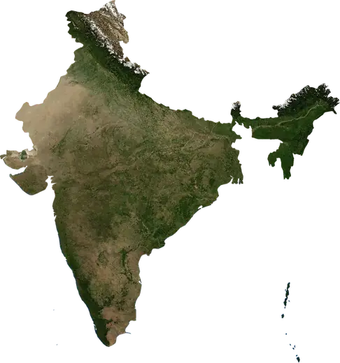
 Lalitpur
: earthquakes and wildfires
M3.1 earthquake near Lalitpur, India (Nov 19, 2026, 22:32). Was there an earthquake or a fire near Lalitpur just now? Live map within 100 km, the strongest earthquakes, the largest fires and statistics for Lalitpur, India.
Live map – Lalitpur
Earthquakes within 100 km of the city centre.
Key statistics (30 days)
Earthquakes M2.5+ and the wildfire fronts shown on the map.
Recent events in Lalitpur
- 3.19 h agoM3.1 earthquake near Lalitpur, India42 km SSE of Lalitpur, India
- 19 h agoWildfire near Guna, India – active7.2 km² · 56 km E of Guna, India
- 4 days agoWildfire near Chanderi, India32 km² · 21 km SW of Chanderi, India
- 4 days agoWildfire near Ashoknagar, India8.1 km² · 7 km SSW of Ashoknagar, India
- 4 days agoWildfire near Mungaoli, India39 km² · 18 km SW of Mungaoli, India
- 5 days agoWildfire near Mungaoli, India10 km² · 12 km N of Mungaoli, India
Historical overview
Earthquakes M3.0+ and significant events of other hazards.
About Lalitpur
Lalitpur has recorded 1 earthquakes of magnitude 3.0 or more since 2026. The strongest was M3.1 in .
Satellites have detected 9 significant wildfires here; the largest burned about 39 km².
Know the official emergency number, prepare an emergency kit and follow the instructions of your civil protection authority.
Learn more ›Did you feel an earthquake in Lalitpur?
No reports yet.
Earthquakes
One earthquake of magnitude 3.0 or more within 100 km in our records: M3.1.
Recent earthquakes
| Mag | Location | Time (UTC) | Depth |
|---|---|---|---|
| 3.1 | 42 km SSE of Lalitpur, India | 10.0 km |
Wildfires
9 major fires since 2026 within 100 km. The largest covered about 39 km².
Recent fires
| Area | Location | Since | Status |
|---|---|---|---|
| 7.2 km² | 56 km E of Guna, India | Active | |
| 32 km² | 21 km SW of Chanderi, India | Inactive | |
| 8.1 km² | 7 km SSW of Ashoknagar, India | Inactive | |
| 39 km² | 18 km SW of Mungaoli, India | Inactive | |
| 10 km² | 12 km N of Mungaoli, India | Inactive | |
| 9.9 km² | 47 km SSE of Shivpuri, India | Inactive | |
| 13 km² | 15 km ENE of Jhansi, India | Inactive | |
| 3.2 km² | 17 km WSW of Datia, India | Inactive | |
| 10 km² | 37 km S of Shivpuri, India | Inactive | |
| 8.3 km² | 16 km ENE of Ashoknagar, India | Inactive |
Show all (24)
| Area | Location | Since | Status |
|---|---|---|---|
| 8.8 km² | 17 km ESE of Guna, India | Inactive | |
| 5.2 km² | 13 km WNW of Kurwai, India | Inactive | |
| 6.7 km² | 13 km NW of Rahatgarh, India | Inactive | |
| 5.6 km² | 15 km NNE of Ashoknagar, India | Inactive | |
| 18 km² | 8 km SSW of Mungaoli, India | Inactive | |
| 3.1 km² | 32 km N of Ashoknagar, India | Inactive | |
| 4.5 km² | 20 km NW of Kurwai, India | Inactive | |
| 14 km² | 10 km NE of Basoda, India | Inactive | |
| 5.9 km² | 47 km ENE of Guna, India | Inactive | |
| 3.4 km² | 13 km SW of Ashoknagar, India | Inactive | |
| 4.5 km² | 18 km SW of Khurai, India | Inactive | |
| 3.8 km² | 17 km SSW of Bada Malhera, India | Inactive | |
| 13 km² | 44 km N of Ashoknagar, India | Inactive | |
| 11 km² | 10 km NE of Aron, India | Inactive |
Largest fires on record
| Area | Location | Since | Status |
|---|---|---|---|
| 39 km² | 18 km SW of Mungaoli, India | Inactive | |
| 32 km² | 21 km SW of Chanderi, India | Inactive | |
| 18 km² | 8 km SSW of Mungaoli, India | Inactive | |
| 14 km² | 10 km NE of Basoda, India | Inactive | |
| 13 km² | 44 km N of Ashoknagar, India | Inactive | |
| 13 km² | 15 km ENE of Jhansi, India | Inactive | |
| 11 km² | 10 km NE of Aron, India | Inactive | |
| 10 km² | 12 km N of Mungaoli, India | Inactive | |
| 10 km² | 37 km S of Shivpuri, India | Inactive |
Nearby places
- Chanderi 29 km
- Bamor Kalan 35 km
- Tikamgarh 42 km
- Mungaoli 45 km
- Etawa 60 km
- Babina 61 km
- Bina 62 km
- Pirthipur 67 km
- Ashoknagar 71 km
- Khurai 72 km