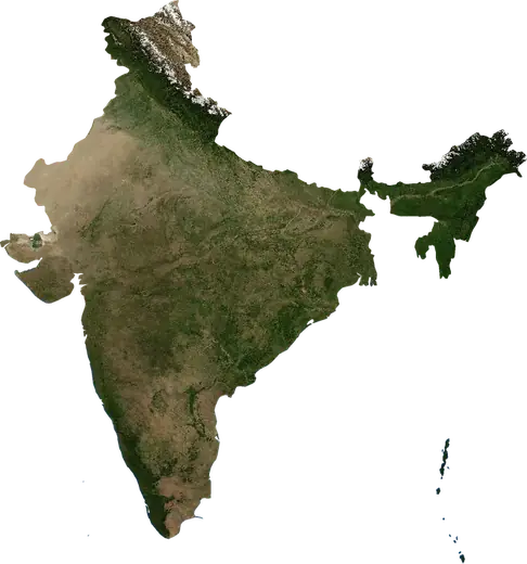
 Chanda
: earthquakes and wildfires
Was there an earthquake or a fire near Chanda just now? Live map within 100 km, the strongest earthquakes, the largest fires and statistics for Chanda, India.
Live map – Chanda
Earthquakes within 100 km of the city centre.
Key statistics (30 days)
Earthquakes M2.5+ and the wildfire fronts shown on the map.
Recent events in Chanda
- 26 h agoWildfire near Chanda, India – active6.6 km² · 19 km W of Chanda, India
- 26 h agoWildfire near Ballarpur, India – active4.7 km² · 22 km WSW of Ballarpur, India
- 27 h agoWildfire near Chanda, India – active16 km² · near Chanda, India
- 3.041 h agoM3.0 earthquake near Kagaznagar, India19 km ESE of Kagaznagar, India
- 2 days agoWildfire near Wani, India3.6 km² · 29 km SSW of Wani, India
- 2 days agoWildfire near Bhadravati, India8.1 km² · 13 km SE of Bhadravati, India
Historical overview
Earthquakes M3.0+ and significant events of other hazards.
About Chanda
Chanda has recorded 1 earthquakes of magnitude 3.0 or more since 2026. The strongest was M3.0 in .
Satellites have detected 6 significant wildfires here; the largest burned about 36 km².
Know the official emergency number, prepare an emergency kit and follow the instructions of your civil protection authority.
Learn more ›Did you feel an earthquake in Chanda?
No reports yet.
Earthquakes
One earthquake of magnitude 3.0 or more within 100 km in our records: M3.0.
Recent earthquakes
| Mag | Location | Time (UTC) | Depth |
|---|---|---|---|
| 3.0 | 19 km ESE of Kagaznagar, India | 10.0 km |
Wildfires
6 major fires since 2026 within 100 km. The largest covered about 36 km².
Recent fires
| Area | Location | Since | Status |
|---|---|---|---|
| 6.6 km² | 19 km W of Chanda, India | Active | |
| 4.7 km² | 22 km WSW of Ballarpur, India | Active | |
| 16 km² | near Chanda, India | Active | |
| 3.6 km² | 29 km SSW of Wani, India | Inactive | |
| 8.1 km² | 13 km SE of Bhadravati, India | Inactive | |
| 3.4 km² | 30 km SW of Chanda, India | Inactive | |
| 4.1 km² | 28 km SSW of Chanda, India | Inactive | |
| 12 km² | 12 km E of Chanda, India | Inactive | |
| 16 km² | 23 km SE of Ballarpur, India | Inactive | |
| 15 km² | 38 km SSE of Garhchiroli, India | Inactive |
Show all (12)
| Area | Location | Since | Status |
|---|---|---|---|
| 22 km² | 19 km S of Utnur, India | Inactive | |
| 36 km² | 11 km SW of Utnur, India | Inactive |
Largest fires on record
| Area | Location | Since | Status |
|---|---|---|---|
| 36 km² | 11 km SW of Utnur, India | Inactive | |
| 22 km² | 19 km S of Utnur, India | Inactive | |
| 16 km² | near Chanda, India | Active | |
| 16 km² | 23 km SE of Ballarpur, India | Inactive | |
| 15 km² | 38 km SSE of Garhchiroli, India | Inactive | |
| 12 km² | 12 km E of Chanda, India | Inactive |
Nearby places
- Ballarpur 13 km
- Ghugus 19 km
- Rajura 20 km
- Bhadravati 25 km
- Chandur 27 km
- Wani 38 km
- Mul 42 km
- Warora 43 km
- Asifabad 66 km
- Kagaznagar 71 km
- Garhchiroli 78 km
- Pandharkawada 79 km
- Hinganghat 82 km
- Adilabad 85 km
- Kyathampalle 86 km
- Dasnapur 88 km
- Bramhapuri 94 km