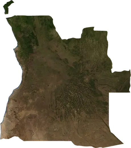
 Ramiros
Feux de forêt près de Ramiros
Y a-t-il un feu près de Ramiros en ce moment? Feux de forêt actifs dans un rayon de 100 km autour de Ramiros, Angola, d’après les satellites de la NASA, et les plus grands feux enregistrés.
Carte en direct – Ramiros
Chargement de la carte en direct…
Dernier événement4,3 km²il y a 32 hà 28 km E de Luanda, Angola
Faible
Modéré
Élevé
Très élevé
Extrême
Très extrême
Prévision : Copernicus EFFIS (indice FWI)
Pluie très faible (0.1–1 mm)
Pluie faible (1–5 mm)
Pluie modérée (5–10 mm)
Pluie forte (10–25 mm)
Pluie très forte (25–50 mm)
Pluie extrême (≥ 50 mm)
Prévision : ECMWF via Copernicus EMS – GWIS
Calme (< 7 km/h, 0–1 Bf)
Brise légère (7–18 km/h, 2–3 Bf)
Brise modérée (18–36 km/h, 4–5 Bf)
Vent fort (36–54 km/h, 5–7 Bf)
Coup de vent (54–72 km/h, 7–8 Bf)
Tempête (≥ 72 km/h, 9+ Bf)
Prévision : ECMWF via Copernicus EMS – GWIS
Très peu de foudre
Peu de foudre
Activité orageuse modérée
Activité orageuse élevée
Activité orageuse très élevée
Activité orageuse extrême
Prévision : ECMWF via Copernicus EMS – GWIS
Séismes
Feux de forêt
Inondations
Tempêtes
Volcans
Tsunamis
Séismes dans un rayon de 100 km autour du centre-ville.
Statistiques clés (30 jours)
Séismes de M2,5+ et fronts d'incendie affichés sur la carte.
Événements récents – Ramiros
- il y a 32 hFeu de forêt près de Luanda, Angola – actif4,3 km² · à 28 km E de Luanda, Angola
- il y a 2 joursFeu de forêt près de Calumbo, Angola81 km² · à 26 km ESE de Calumbo, Angola
- il y a 3 joursFeu de forêt près de Luanda, Angola7,9 km² · à 10 km NE de Luanda, Angola
- il y a 5 joursFeu de forêt près de Calumbo, Angola8,7 km² · à 22 km O de Calumbo, Angola
- il y a 328 joursFeu de forêt près de Calumbo, Angola21 km² · à 12 km OSO de Calumbo, Angola
- il y a 335 joursFeu de forêt près de Calumbo, Angola14 km² · à 25 km SSO de Calumbo, Angola
Aperçu historique
Séismes de M3,0+ et événements importants des autres aléas.
À propos – Ramiros
Les satellites y ont détecté 5 feux de forêt importants; le plus grand a brûlé environ 81 km².
Connaissez le numéro d'urgence officiel, préparez une trousse d'urgence et suivez les consignes de votre autorité de sécurité civile.
En savoir plus ›Feux de forêt
5 feux majeurs depuis 2025 dans un rayon de 100 km. Le plus grand couvrait environ 81 km².
Feux récents
| Superficie | Lieu | Depuis | État |
|---|---|---|---|
| 4,3 km² | à 28 km E de Luanda, Angola | Actif | |
| 81 km² | à 26 km ESE de Calumbo, Angola | Inactif | |
| 7,9 km² | à 10 km NE de Luanda, Angola | Inactif | |
| 8,7 km² | à 22 km O de Calumbo, Angola | Inactif | |
| 21 km² | à 12 km OSO de Calumbo, Angola | Inactif | |
| 14 km² | à 25 km SSO de Calumbo, Angola | Inactif | |
| 11 km² | à 18 km SO de Calumbo, Angola | Inactif |
Plus grands feux enregistrés
| Superficie | Lieu | Depuis | État |
|---|---|---|---|
| 81 km² | à 26 km ESE de Calumbo, Angola | Inactif | |
| 21 km² | à 12 km OSO de Calumbo, Angola | Inactif | |
| 14 km² | à 25 km SSO de Calumbo, Angola | Inactif | |
| 11 km² | à 18 km SO de Calumbo, Angola | Inactif | |
| 10 km² | à 45 km ESE de Calumbo, Angola | Inactif |
Lieux à proximité
- Benfica 19 km
- Talatona 22 km
- Nova Vida 26 km
- Samba 26 km
- Camama 28 km
- Vila Flor 30 km
- Maianga 32 km
- Golfe 32 km
- Luanda 33 km
- Ingombota 34 km
- Kilamba 35 km
- Rangel 35 km
- Cazenga 36 km
- Kima Kieza 37 km
- Zango 38 km
- Mulenvos 38 km
- Hoji ya Henda 39 km
- Sambizanga 40 km
- Viana 40 km
- Calumbo 42 km
- Kikolo 44 km
- Cacuaco 48 km
- Panguila 60 km
- Gama 73 km
- Barra do Dande 75 km
- Caxito 87 km