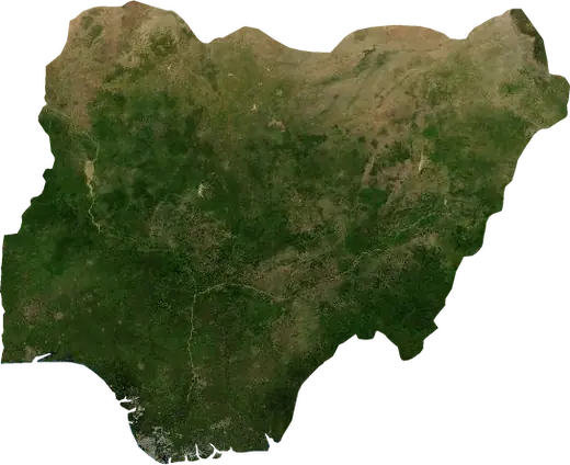
 Irewe
Irewe: earthquakes and wildfires
Was there an earthquake or a fire near Irewe just now? Live map within 62 mi, the strongest earthquakes, the largest fires and statistics for Irewe, Nigeria.
Live map – Irewe
Earthquakes within 62 mi of the city center.
Key statistics (30 days)
Earthquakes M2.5+ and the wildfire fronts shown on the map.
Recent events in Irewe
- 26 h agoWildfire near Abeokuta, Nigeria – active2,053 acres · 23 mi WSW of Abeokuta, Nigeria
- 2 days agoWildfire near Adjaouere, Benin2,105 acres · 11 mi NNE of Adjaouere, Benin
- 4 days agoWildfire near Ifo, Nigeria1,421 acres · 5 mi N of Ifo, Nigeria
- 8 days agoWildfire near Shagamu, Nigeria877 acres · 12 mi NNE of Shagamu, Nigeria
- 282 days agoWildfire near Pobe, Benin3,111 acres · 6 mi ENE of Pobe, Benin
- 297 days agoWildfire near Abeokuta, Nigeria2,773 acres · 37 mi WSW of Abeokuta, Nigeria
Historical overview
Earthquakes M3.0+ and significant events of other hazards.
About Irewe
Irewe has recorded 1 earthquakes of magnitude 3.0 or more since 2009. The strongest was M4.4 in .
Satellites have detected 2 significant wildfires here; the largest burned about 3,111 acres.
Know the official emergency number, prepare an emergency kit and follow the instructions of your civil protection authority.
Learn more ›Did you feel an earthquake in Irewe?
No reports yet.
Earthquakes
One earthquake of magnitude 3.0 or more within 62 mi in our records: M4.4.
Recent earthquakes
No earthquakes of magnitude 2.5+ in the last 12 months.
Wildfires
2 major fires since 2026 within 62 mi. The largest covered about 3,111 acres.
Recent fires
| Area | Location | Since | Status |
|---|---|---|---|
| 2,053 acres | 23 mi WSW of Abeokuta, Nigeria | Active | |
| 2,105 acres | 11 mi NNE of Adjaouere, Benin | Inactive | |
| 1,421 acres | 5 mi N of Ifo, Nigeria | Inactive | |
| 877 acres | 12 mi NNE of Shagamu, Nigeria | Inactive | |
| 3,111 acres | 6 mi ENE of Pobe, Benin | Inactive | |
| 2,773 acres | 37 mi WSW of Abeokuta, Nigeria | Inactive |
Largest fires on record
| Area | Location | Since | Status |
|---|---|---|---|
| 3,111 acres | 6 mi ENE of Pobe, Benin | Inactive | |
| 2,773 acres | 37 mi WSW of Abeokuta, Nigeria | Inactive |
Nearby places
- Alasia 4 mi
- Ajegunle 13 mi
- Aliayabiagba 13 mi
- Surulere 16 mi
- Mushin 17 mi
- Oshodi 17 mi
- Alimosho 17 mi
- Lagos 18 mi
- Akowonjo 18 mi
- Badagry 18 mi
- Makoko 18 mi
- Shomolu 18 mi
- Ikeja 19 mi
- Obalende 19 mi
- Agege 19 mi
- Ota 20 mi
- Lekki 23 mi
- Ebute Ikorodu 27 mi
- Ifo 28 mi
- Adjarra 33 mi
- Ilaro 34 mi
- Banigbe 34 mi