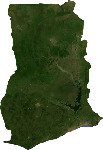
 Koforidua
: earthquakes and wildfires
Was there an earthquake or a fire near Koforidua just now? Live map within 62 mi, the strongest earthquakes, the largest fires and statistics for Koforidua, Ghana.
Live map – Koforidua
Earthquakes within 62 mi of the city center.
Key statistics (30 days)
Earthquakes M2.5+ and the wildfire fronts shown on the map.
Recent events in Koforidua
- 6 days agoWildfire near Mpraeso, Ghana877 acres · 15 mi N of Mpraeso, Ghana
- 6 days agoWildfire near Accra, Ghana825 acres · 18 mi ENE of Accra, Ghana
- 8 days agoWildfire near Hohoe, Ghana3,259 acres · 55 mi WSW of Hohoe, Ghana
- 298 days agoWildfire near Begoro, Ghana3,405 acres · 34 mi NNE of Begoro, Ghana
- 298 days agoWildfire near Mpraeso, Ghana3,501 acres · 22 mi NNE of Mpraeso, Ghana
- 298 days agoWildfire near Koforidua, Ghana3,015 acres · 59 mi NNW of Koforidua, Ghana
Historical overview
Earthquakes M3.0+ and significant events of other hazards.
About Koforidua
Koforidua has recorded 6 earthquakes of magnitude 3.0 or more since 1987. The strongest was M4.4 in .
Satellites have detected 6 significant wildfires here; the largest burned about 5,355 acres.
Know the official emergency number, prepare an emergency kit and follow the instructions of your civil protection authority.
Learn more ›Did you feel an earthquake in Koforidua?
No reports yet.
Earthquakes
6 earthquakes of magnitude 3.0 or more since 1987 within 62 mi. The strongest was M4.4.
Recent earthquakes
No earthquakes of magnitude 2.5+ in the last 12 months.
Earthquakes per year (M3.0+)
Year
| 2020 | 1 | M4.0 |
| 1997 | 1 | M4.4 |
| 1990 | 1 | M3.1 |
| 1988 | 2 | M3.5 |
| 1987 | 1 | M3.1 |
Wildfires
6 major fires since 2026 within 62 mi. The largest covered about 5,355 acres.
Recent fires
| Area | Location | Since | Status |
|---|---|---|---|
| 877 acres | 15 mi N of Mpraeso, Ghana | Inactive | |
| 825 acres | 18 mi ENE of Accra, Ghana | Inactive | |
| 3,259 acres | 55 mi WSW of Hohoe, Ghana | Inactive | |
| 3,405 acres | 34 mi NNE of Begoro, Ghana | Inactive | |
| 3,501 acres | 22 mi NNE of Mpraeso, Ghana | Inactive | |
| 3,015 acres | 59 mi NNW of Koforidua, Ghana | Inactive | |
| 4,912 acres | 29 mi WSW of Kpandu, Ghana | Inactive | |
| 5,355 acres | 12 mi S of Ho, Ghana | Inactive |
Largest fires on record
| Area | Location | Since | Status |
|---|---|---|---|
| 5,355 acres | 12 mi S of Ho, Ghana | Inactive | |
| 4,912 acres | 29 mi WSW of Kpandu, Ghana | Inactive | |
| 3,501 acres | 22 mi NNE of Mpraeso, Ghana | Inactive | |
| 3,405 acres | 34 mi NNE of Begoro, Ghana | Inactive | |
| 3,259 acres | 55 mi WSW of Hohoe, Ghana | Inactive | |
| 3,015 acres | 59 mi NNW of Koforidua, Ghana | Inactive |
Nearby places
- Suhum 14 mi
- Nsawam 21 mi
- Begoro 22 mi
- Adenta 27 mi
- Achiaman 28 mi
- Anyinam 28 mi
- Taifa 30 mi
- Medina Estates 30 mi
- Dome 31 mi
- Ashaiman 31 mi
- Lashibi 32 mi
- Asamankese 32 mi
- New Achimota 32 mi
- Tema 34 mi
- Awoshi 35 mi
- Sakumona 36 mi
- Gbawe 36 mi
- Tema New Town 36 mi
- Nungua 36 mi
- Teshi Old Town 37 mi
- Accra 37 mi
- Osu 37 mi
- Mandela 38 mi
- Akwatia 38 mi
- Kade 40 mi