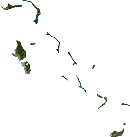
 Bahamas
: earthquakes and wildfires
Latest earthquakes and active wildfires in Bahamas on a live map, the strongest earthquakes and largest fires on record, and statistics by year.
Live map – Bahamas
Key statistics (30 days)
Earthquakes M2.5+ and the wildfire fronts shown on the map.
Fire danger
Forecast for the area around: Nassau. Danger can vary locally; follow official guidance. Source: Copernicus EMS – EFFIS (FWI).
Severe weather (forecast)
- Today: Rain – Very heavy rain (25–50 mm) · Nassau
- Tomorrow: Rain – Very heavy rain (25–50 mm) · Nassau
Forecast for the area around: Bahamas. It does not replace warnings from the national weather service. Source: ECMWF / Copernicus EMS.
Recent events in Bahamas
Historical overview
Earthquakes M3.0+ and significant events of other hazards.
About Bahamas
Bahamas has recorded 1 earthquakes of magnitude 3.0 or more since 1992. The strongest was M3.2 in 1992.
Satellites have detected 2 significant wildfires here; the largest burned about 14 km².
Know the official emergency number, prepare an emergency kit and follow the instructions of your civil protection authority.
Learn more ›Earthquakes
1 earthquakes of magnitude 3.0 or more since 1992. The strongest was M3.2.
Recent earthquakes
No earthquakes of magnitude 2.5+ in the last 12 months.
Strongest earthquakes on record
| Mag | Location | Time (UTC) | Depth |
|---|---|---|---|
| 3.2 | 21 km SSW of Eight Mile Rock, Bahamas | 10.0 km |
Wildfires
2 major fires since 2026. The largest covered about 14 km².
Recent fires
| Area | Location | Since | Status |
|---|---|---|---|
| 14 km² | 19 km ESE of Sandy Point, Bahamas | Inactive | |
| 10 km² | 10 km W of Cooper's Town, Bahamas | Inactive |
Largest fires on record
| Area | Location | Since | Status |
|---|---|---|---|
| 14 km² | 19 km ESE of Sandy Point, Bahamas | Inactive | |
| 10 km² | 10 km W of Cooper's Town, Bahamas | Inactive |